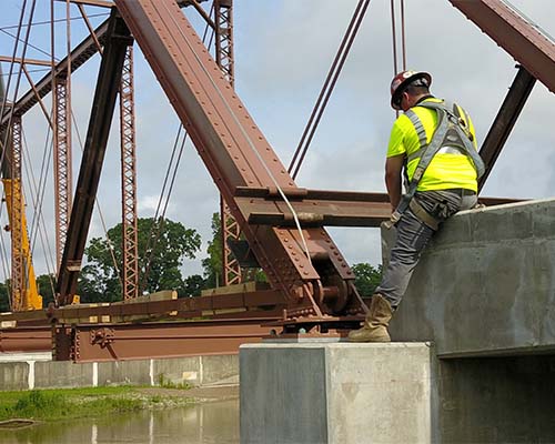
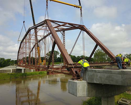
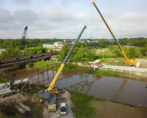
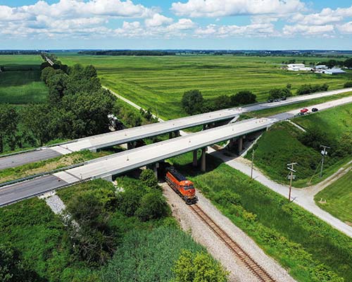
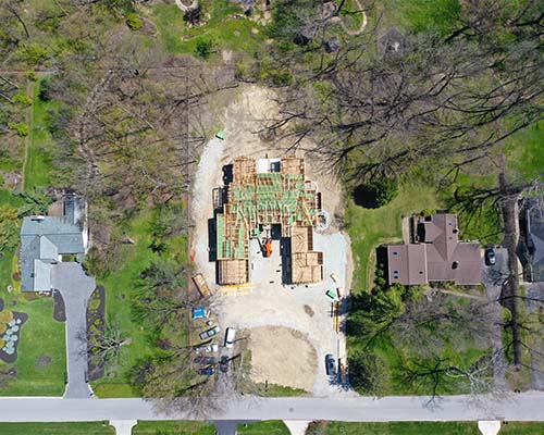
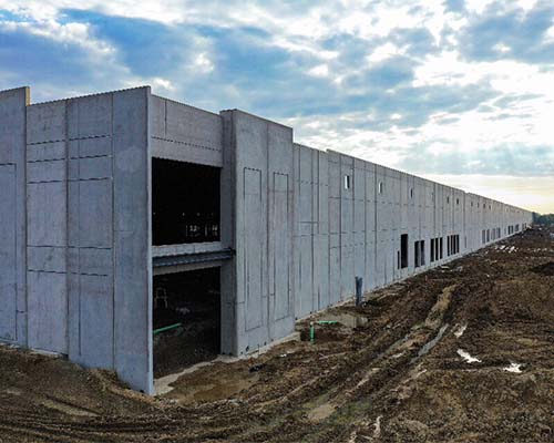
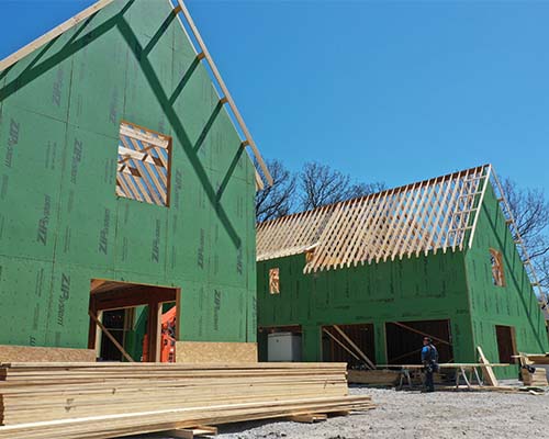
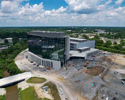
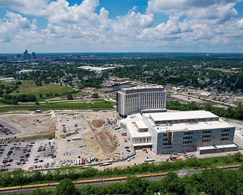
Drones are changing the way construction companies execute inspections and progress monitoring. They keep the construction project on schedule, within budget, all while improving safety and efficiency.

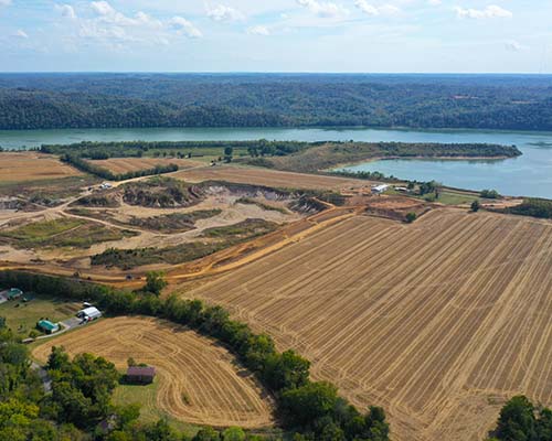
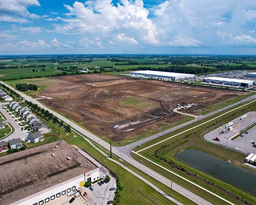
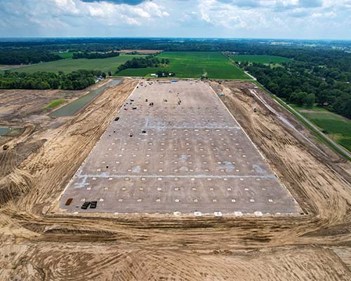
Construction site aerial imaging is an efficient, cost-effective tool that allows contractors and land developers to effectively manage all stages of the construction progress, from planning to completion, while keeping timelines on schedule, staying within budget, and providing accurate information to stakeholders along the way. Whether the project is an industrial refinery, commercial real estate complex, or residential housing development, our aerial photography and video services will capture every angle of your project and integrate a variety of technologies that can be used for the following:
Land Mapping
Ground Quality Assessments
Construction Bid Packages
Project Management & Monitoring
Site Inspections
Marketing and Promotions